
The Route Napoléon, from the coast to the Alps
The emperor's road north from the Riviera, the towns along the way, and why it rewards a driver who takes it in stages.
Some roads are famous for a single pass. The Route Napoléon is famous for a journey. It follows the way Napoleon took north from the Mediterranean on his return from Elba, landing at Golfe-Juan near Cannes at the beginning of March 1815 and reaching Grenoble on 7 March. Today the route runs for roughly 325 kilometres along sections of the N85 and its successor departmental roads, climbing from the perfume hills above the Riviera into the foothills of the Alps. It was inaugurated as a tourist route in 1932, and it has been a drivers' road ever since.
A road with a story at every turn
What sets it apart is the sense of a narrative unfolding as you drive. Napoleon marched with around a thousand men, choosing the mountain tracks to avoid the royalist garrisons of the Rhône valley, and the modern road keeps faith with that line rather than the easiest one. It does not follow his steps exactly, since in 1815 there was no single road to follow, but the towns are the same. Look out for the gilded eagle markers along the way, a nod to the emperor's emblem and a quiet reminder that you are on the right road.
Grasse to Castellane
The southern stretch leaves the coast behind quickly. Grasse, long the home of French perfumery, sits on its hillside before the road climbs through Saint-Vallier-de-Thiey and out onto open limestone country. The bends here are long and well sighted, the traffic thins, and the scenery turns from Riviera gardens to scrub and stone. Castellane, tucked beneath its rock and chapel, is the natural pause, and the place to decide whether to take the short diversion to the Gorges du Verdon, one of Europe's great canyons and well worth an unhurried hour.
Digne, Sisteron and Gap
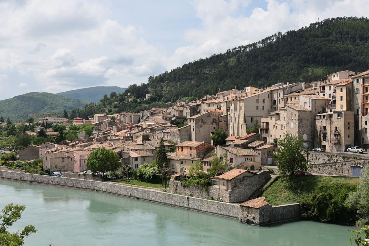
North of Castellane the road threads through Haute-Provence to Digne-les-Bains and on to Sisteron, where the old town stacks itself above the Durance beneath a medieval citadel. It is one of the finest arrivals on the route, and a fitting place for lunch or a night. Beyond lies Gap, and then the climb to the Col Bayard at 1,246 metres, the high point of the road, before the descent towards Corps and La Mure.
Laffrey, where the story turns
The northern end carries the route's most famous moment. At Laffrey, above Grenoble, Napoleon met the royal troops sent to stop him, and instead of firing they went over to his side. The meadow is now known as the Prairie de la Rencontre and marked by an equestrian statue beside the lakes. From here the road drops steeply towards Vizille and Grenoble, and it is a descent to take with patience and a low gear.
How to drive it well
Resist the urge to do it in a day. The Route Napoléon is a road of towns as much as bends, and it rewards two or three days with nights in Castellane, Sisteron or the hills around Gap. Spring and early autumn bring the kindest light and the lightest traffic; high summer fills the Verdon and the viewpoints. Drive north if you can, so the Alps rise ahead of you rather than recede in the mirror, and save the motorway for the journey home.
If you would like a road like this woven into a journey of your own, Renisetté plans bespoke tours around the drives that matter to you.