
Serra da Estrela, the road to the top
Granite, glacial valleys and the highest road in mainland Portugal.
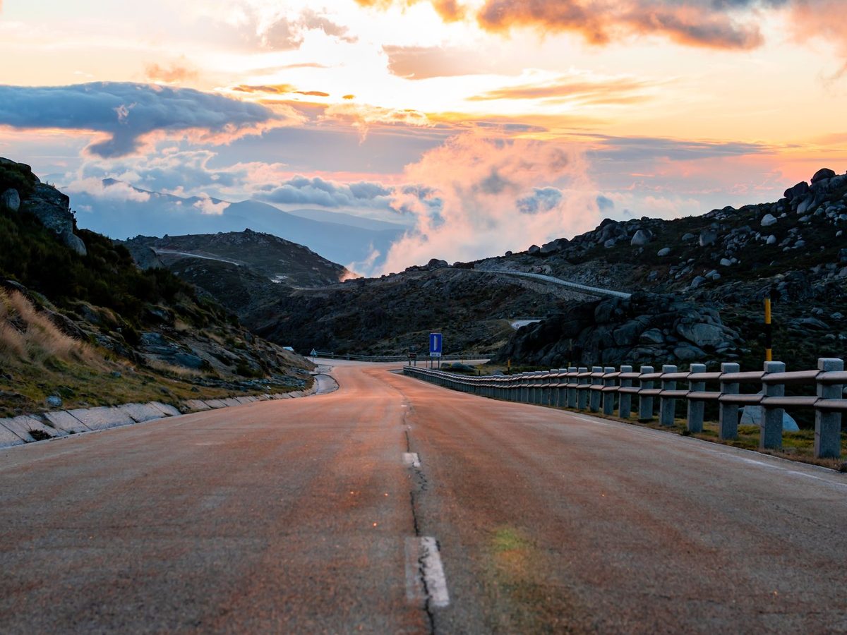
South of the Douro the vineyards thin out, the villages grow further apart and the land begins to rise. By the time the Serra da Estrela comes into view, the soft green of port country has given way to granite, broom and open sky. This is the highest country in mainland Portugal, and it feels nothing like the coast most visitors know.
The roof of the mainland
The range runs through the centre of the country, and its high point is Torre, at 1,993 metres the highest ground in mainland Portugal. Only Mount Pico, out in the Azores, stands taller anywhere in Portuguese territory. Torre is not a dramatic peak so much as the top of a broad, wind-scoured plateau, and it has the unusual distinction of being a summit you can drive to.
Much of the range sits within the Serra da Estrela Natural Park, created in 1976 and the largest protected area in mainland Portugal. In 2020 the wider region was designated the Estrela UNESCO Global Geopark, in recognition of a landscape shaped by ice. Around twenty thousand years ago a glacier covered the high plateau and carved out the valleys below it.
The road over the top
The road that crosses the summit, the ER339, formerly the N339, climbs from Covilhã on the eastern side through Penhas da Saúde, passes over Torre and drops down towards Seia in the west. It is open, exposed driving: long sightlines across the plateau, boulders the size of houses, and the occasional flock of sheep with a shepherd and an Estrela Mountain Dog somewhere in attendance.
It is also a road that commands respect. The upper sections close when snow falls in winter, and even in high summer the air at the top is noticeably cooler than in the towns below, often with a stiff wind. A jacket in the boot is not an affectation here.
Into the glacial valley
The finest stretch, for many, is the descent into Manteigas. From Nave de Santo António the N338 winds down for around 13 kilometres through the Zêzere valley, an almost perfect U-shaped trough left behind by the glacier, its granite walls rising steeply on either side. The river rises at Covão da Ametade, near the head of the valley, and is a fine place to stop, stretch and take in the scale of it.
Manteigas itself is a small, unhurried mountain town at the foot of the valley, long associated with sheep farming and with burel, the dense woollen cloth woven in the region for centuries. It is also the place to try Queijo Serra da Estrela, the soft sheep's milk cheese that carries protected status and is best eaten with a spoon.
Where to stay
Above Manteigas, on the road to Penhas Douradas, Casa de São Lourenço looks straight down the length of the Zêzere valley. It began life as the Pousada de São Lourenço, one of the first of Portugal's state-run pousadas, designed by the architect Rogério de Azevedo with interiors by the artist Maria Keil. Building began in 1938, but the Second World War delayed its opening until March 1948.
Burel Mountain Hotels restored the building and reopened it in 2018 as a five-star hotel, using burel throughout and turning every room towards the view. At around 1,250 metres, it is the kind of place where the evening is best spent watching the light leave the valley.
Onward
From the mountains the route heads south-west, out of the granite and down towards the Atlantic, to the pine woods and rice fields of Comporta.
The Renisetté Portugal Grand Prix Supercar Tour stays a night at Casa de São Lourenço on its way from the Douro to the coast. The tour, 14 to 21 June 2027, is on renisette.com.